


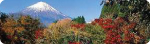


Mt. Fuji & Sabo Project
Front Page>
Mt. Fuji & Sabo Project >
Innovation >
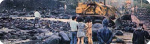
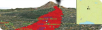
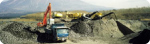
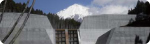
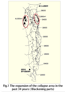
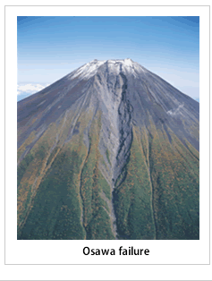
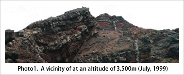
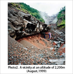
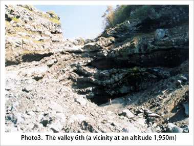
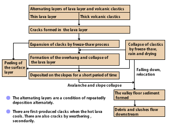
The Current State of the Osawa Failure
The Current State of the Osawa Failure
|
|
|||||
|
|
|||||
|
||||||||||
 |