


What is Yui Landslide Project?
The outline of Yui Landslide Prevention Works is as follows.
 |
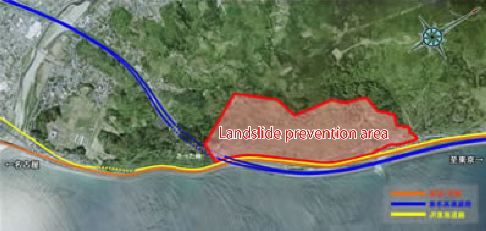
Since the confirmation of a large-scale landslide in Yui-Nishikurasawa, Shimizu ward, Shizuoka city, from 2005, the office has been conducting countermeasures against landslides due to torrential rains or Tokai earthquakes. |
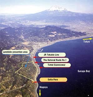 |
Currently, this area are potentially vulnerable to immeasurable economic and human losses caused by the disruption of important transport networks that are the National Route No.1, Tomei Expressway, and JR Tokaido Line, the main arterial traffic area of Japan. Since the large-scale landslide topography was found at Yui area (Mt. Satta) and large seismic intensity (6 Upper or 7) prediction during coming Tokai Earthquake was reported by the Central Disaster Management Council, these area has a risk of landslide caused by torrential rains or earthquakes such as Tokai Earthquake. Fuji Sabo Office conducts the landslide prevention works, including the examination of its mechanism and countermeasures. |
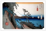 |
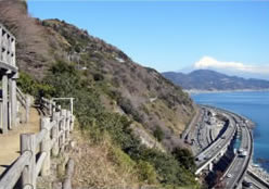
The Yui Landslide Prevention Project is located in Yui-Nishikurasawa, Shumizu ward, Shizuoka city. ‘Yui,’ one of the 53 stations portrayed by the Ukiyo-e artist Utagawa Hiroshige, displays a ‘Satta Pass’ trapped between Suruga Bay and steep terrains, making it one of the difficult places to travel since ancient time. Additionally, it is an area where many landslides and other sediment-related disasters have been recorded for a long time. |
 |